Holiday planning
Dachmarke Suedtirol
Holiday planning
telephone-white Call us email-white Write us whatsapp-white WhatsApp arrow-white 360° View
Wine Hiking Trail

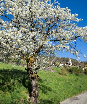
Wine hiking trail in Klausen

Wine in the sunshine

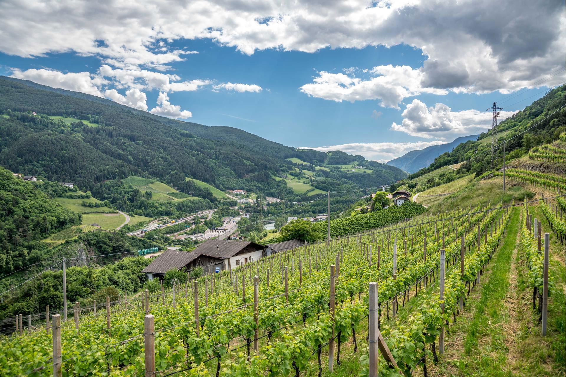
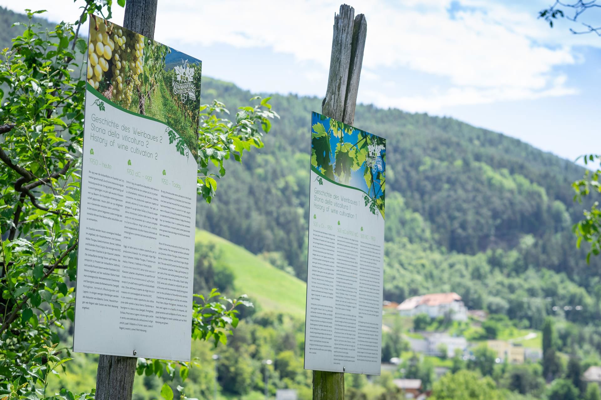
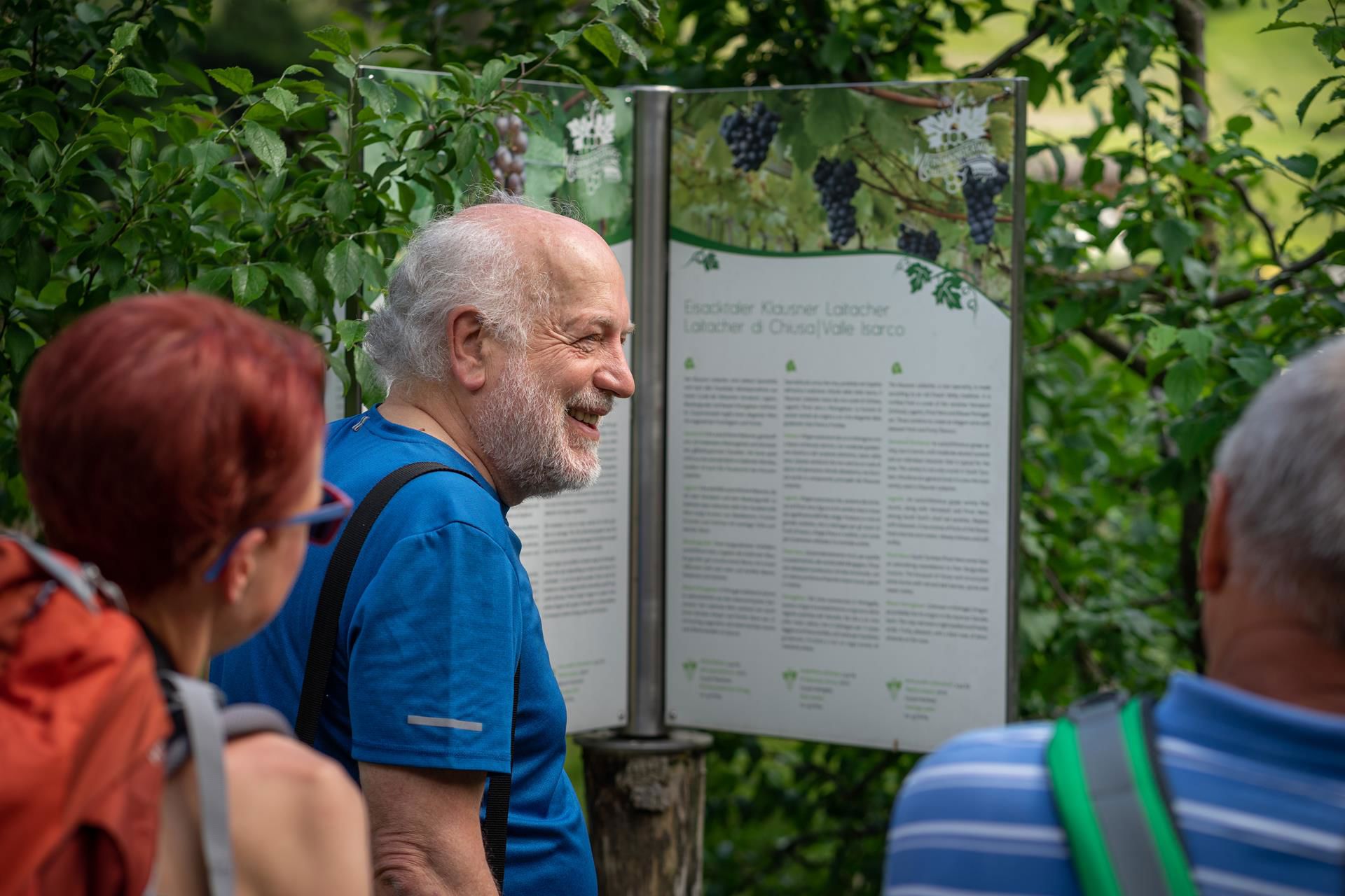
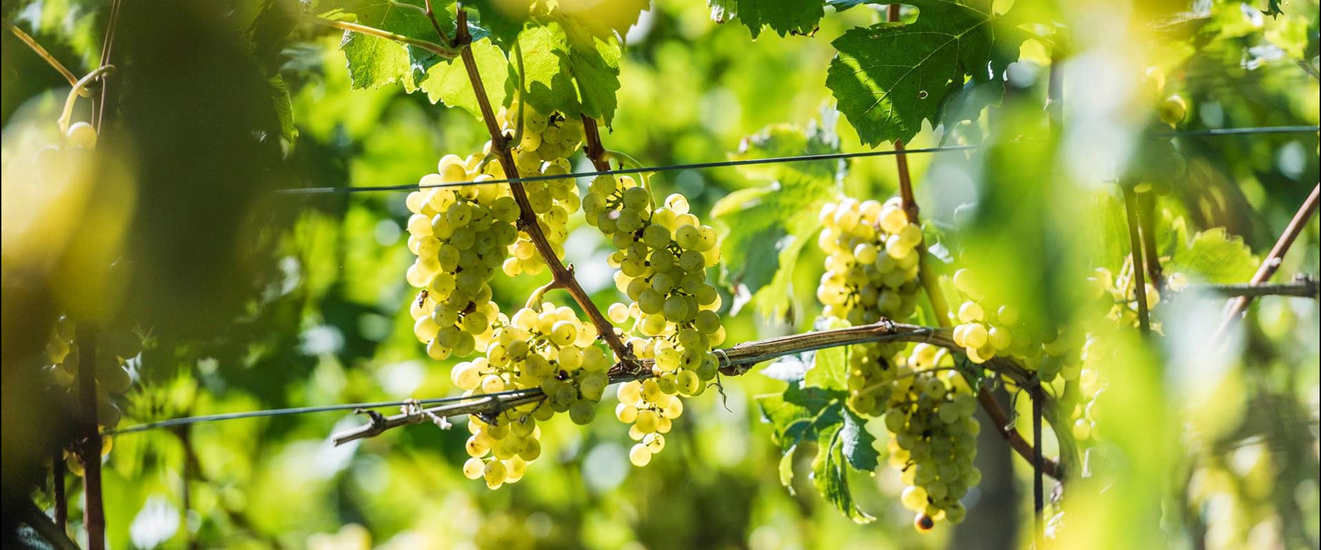
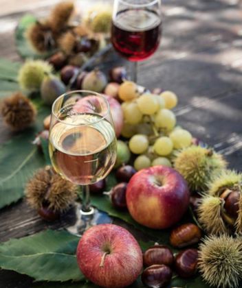
The hiking trails leads through the sunny vineyards of Leitach and on the way you will get a fascinating insight into winegrowing in the Eisack Valley and learn about the different varieties of grape.

Difficulty: easy
Route length: 4 km
Altitude difference: 300 m

Directions
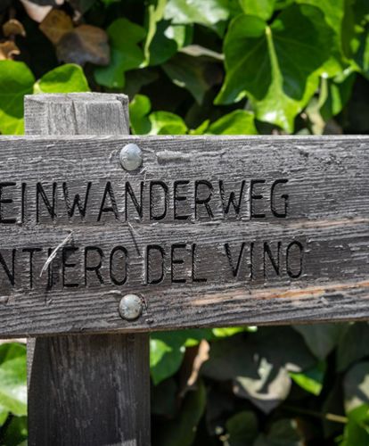
From the swimming pool in Klausen/Chiusa, you walk along the main road to the crossroads for Feldthurns/Velturno. Follow the marked Wine Trail (Weinwanderweg), first along the road and then through
the Leitach vineyards past various wineries up to the Hienghof farm and from there back down to the swimming pool.
Theme trail

Wine Hiking Trail

Theme trail · Eisacktal
Responsible for this content
Klausen, Barbian, Villanders, Feldthurns
  • Vineyard
    Vineyard
    Photo: Hannes Niederkofler, Klausen, Barbian, Villanders, Feldthurns
Map / Wine Hiking Trail
moderate
Distance 5.5 km
1:50 h
317 m
317 m
839 m
522 m

From the swimming pool in Chiusa/Klausen, you walk along the main road to the crossroads for Velturno/Feldthurns. Follow the marked Wine Trail (Weinwanderweg), first along the road and then through the Leitach vineyards past various wineries up to the Hienghof farm and from there back down to the swimming pool. On the way you will get a fascinating insight into winegrowing in the Eisacktal valley and learn about the different varieties of grape.

Difficulty
moderate
Technique
Stamina
Experience
Landscape
Highest point
839 m
Lowest point
522 m
Best time of year
Jan
Feb
Mar
Apr
May
Jun
Jul
Aug
Sep
Oct
Nov
Dec

Track types

Show elevation profile

Start

Coordinates:
DD
46.647094, 11.580240
DMS
46°38'49.5"N 11°34'48.9"E
UTM
32T 697448 5169182
w3w 
///falsify.immaculately.upwards

Public transport

Getting to the starting point of the tour or point of interest by public transport is easy and convenient.

Directions

On the state road SS12 to Klausen is on the left side the swimming pool of Klausen.

Coordinates

DD
46.647094, 11.580240
DMS
46°38'49.5"N 11°34'48.9"E
UTM
32T 697448 5169182
w3w 
///falsify.immaculately.upwards
Get there by train, car, bike, or on foot!

Similar routes nearby

  • Chestnut Trail: CHiusa-Villandro-S. Maurizio
  • From Feldthurns to to the waterfalls of Schrambach
  • Sunday Path
  • Path “Törggeleweg” Villanders
  • Barbian/Barbiano- waterfall- Dreikirchen/Trechiese
 These suggestions were generated by our system
Difficulty
moderate
Distance
5.5 km
Duration
1:50 h
Ascent
317 m
Descent
317 m
Highest point
839 m
Lowest point
522 m

Weather at the route's trailhead

Statistics

  • Content
  • Show images Hide images
Features
Maps and trails
Distance  km
Duration : h
Ascent  m
Descent  m
Highest point  m
Lowest point  m
Push the arrows to change the view
klausen-wein-eisacktalwein_hannes-niederkofler
WINE
We are your winemakers
From the grape to the delicate wines: The winemakers of Eisacktal valley ensure a pleasurable wine experience!
Get to know the winemakers