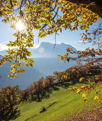
Gorgeous
The Mountain Pine Trail
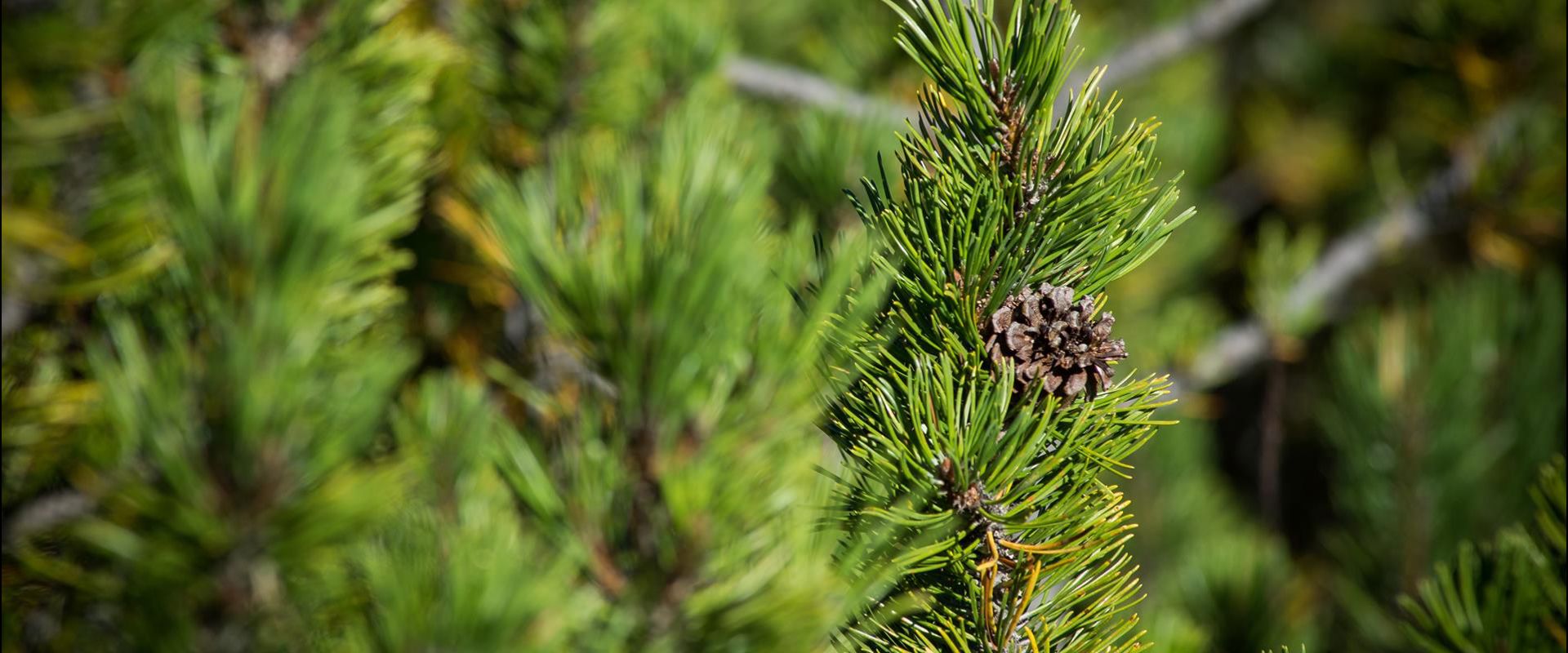
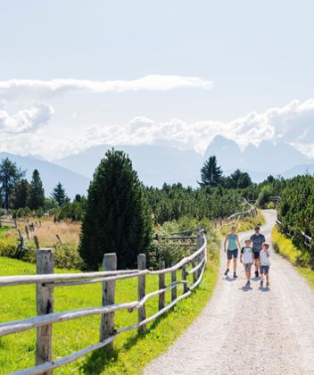
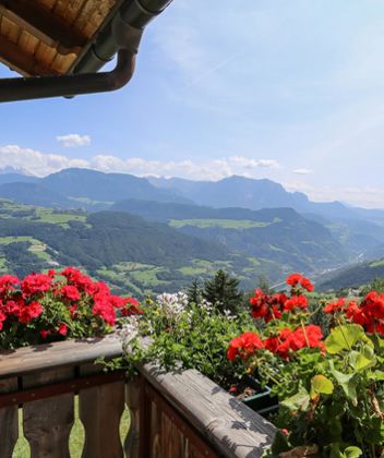
The beautiful Mugo Pine Trail (Latschenweg in German) on the Villanderer Alm leads through a truly unique landscape and also offers a great panorama over the Dolomites.
Directions:
The starting point is the parking lot "Saltnerstein" at the Gasser hut (1,744 m). Follow the rising footpath 6/15 towards Mair in Plun. In the mountain pine fields turn right after the reservoir at the first crossroads and follow the marking 24 to the beautifully situated alpine hut Am Rinderplatz (1.799 m). Then continue along the path nr. 23 to the alpine road no. 15 where you follow the signs "Laschenweg - Sentiero Pino Mugo". The path then leads over Mair in Plun (1,860 m) in a northerly direction to the alpine terrain. Shortly thereafter, the trail branches off to the left until the Marzuner Schupfe (1,933 m).
Return to the starting point along the alpine road no. 15/6.
The "Latschenweg" leads to the Marzuner Schupfe, where a Mugo Pine Distillery is operating, which can also be visited. At the distillery interested visitors get an insight into the processing of the mountain pine to essential oil.