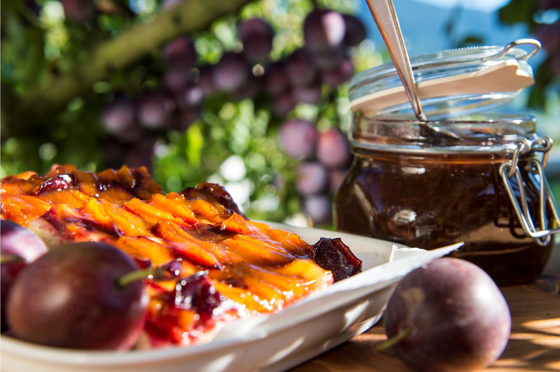
Holiday planning
Dachmarke Suedtirol
Holiday planning
telephone-white Call us email-white Write us whatsapp-white WhatsApp arrow-white 360° View

Plummy

Barbian plum trail

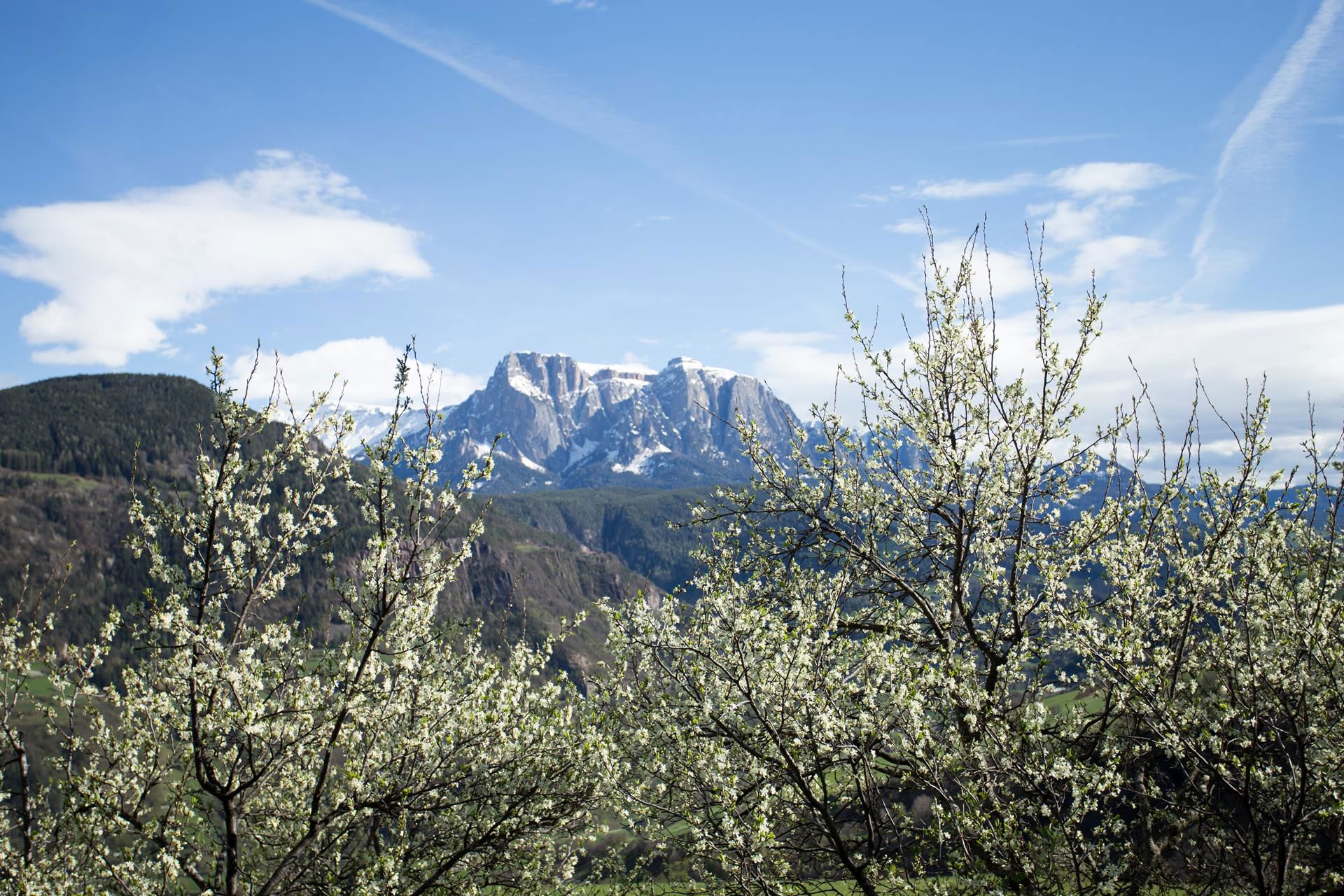
From countless plum trees to beautiful views: This walk is a true delight especially when the flowers are blooming in April and May!

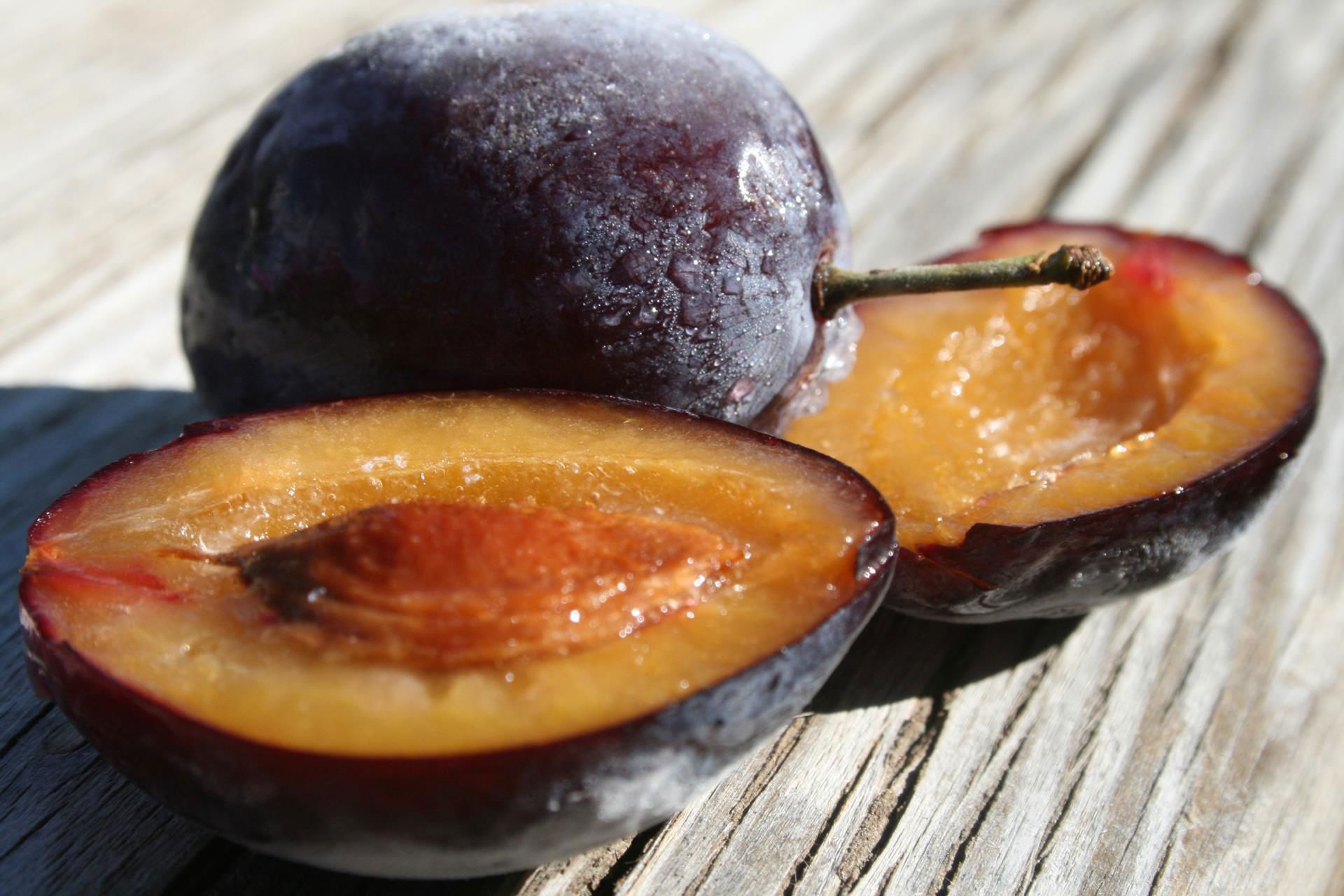
The plum trail got its name from the plums trees that grow along the route. On the way, one can find interesting facts on boards about the plum of Barbian/Barbiano .
The two-hour hike is particulary beautiful in April an May, during the plum plossom period. But also in summer and autumn, this trail offers a wonderful view.

General description:
From the place near the church we go to the lower zone of the village. During the hike we pass an air crossing, the Frühaufhof and Haus Urban. We go on to the upper village and at the end we come back to our initial point. On the way we can find some interesting explanation and presentation boards.Particularly suitable for families.

Difficulty: easy theme hike
Route length: 4 km
Walking time:
about 2 hours
Especially beautiful in the spring during the flowering period!
Theme trail

Trail of the plum of Barbian/Barbiano

Theme trail · Eisacktal
Responsible for this content
Klausen, Barbian, Villanders, Feldthurns
  • .
    .
    Photo: Wolfgang Gafriller, Klausen, Barbian, Villanders, Feldthurns
Map / Trail of the plum of Barbian/Barbiano
Hint

Explanation

Selected alternatives for you
    moderate
    Distance 2.3 km
    0:43 h
    111 m
    111 m
    871 m
    760 m

    We start in the village square in Barbiano/Barbian and walk along the Plum Trail towards the lower part of the village, past the Feltuner farm to the cross. There the trail becomes very steep up past the Frühaufhof farm, crossing the road and then, at the Haus Urban guesthouse, proceeds uphill to a fork in the road. From there we continue right and through the upper part of the village back to the centre. On the way there are lots of information panels giving interesting information about the Barbiano plums. Especially good for families.

    Difficulty
    moderate
    Overall difficulty
    moderate

    Derived from the technical difficulty and the stamina requirements.

    Experience
    Landscape
    Highest point
    871 m
    Lowest point
    760 m
    Best time of year
    Jan
    Feb
    Mar
    Apr
    May
    Jun
    Jul
    Aug
    Sep
    Oct
    Nov
    Dec

    Track types

    Show elevation profile

    Rest stops

    Restaurant Rösslwirt
    Farm Yard Gostnerhof
    bakery Rabanser
    Bio Ladele
    Gasthof zur Traube
    Albergo Cavallino

    Start

    Coordinates:
    DD
    46.602887, 11.519724
    DMS
    46°36'10.4"N 11°31'11.0"E
    UTM
    32T 692974 5164120
    w3w 
    ///discloses.resent.containment

    Public transport

    Getting to the starting point of the tour or point of interest by public transport is easy and convenient.

    Directions

    Leave the motorway at Klausen/Chiusa. Follow the state street of Brenner/Brennero (SS12) in direction of Bozen/Bolzano or Waidbruck/Ponte Gardena. After ca. 6 km you arrive Waidbruck/Ponte Gardena and from that point you have to take the slip road in the right direction. Follow the street and after ca. 4 km you will arrive at Barbian/Barbiano.

    Coordinates

    DD
    46.602887, 11.519724
    DMS
    46°36'10.4"N 11°31'11.0"E
    UTM
    32T 692974 5164120
    w3w 
    ///discloses.resent.containment
    Get there by train, car, bike, or on foot!

    Similar routes nearby

    • Barbian/Barbiano- waterfall- Dreikirchen/Trechiese
    • Waterfalls of Barbiano/Barbian - Briol and Trechiese/Dreikirchen
    • Waterfall of Barbian/Barbiano
    • Path “Törggeleweg” Villanders
    • Chestnut Trail: CHiusa-Villandro-S. Maurizio
     These suggestions were generated by our system
    Difficulty
    moderate
    Overall difficulty
    moderate

    Derived from the technical difficulty and the stamina requirements.

    Distance
    2.3 km
    Duration
    0:43 h
    Ascent
    111 m
    Descent
    111 m
    Highest point
    871 m
    Lowest point
    760 m

    Weather at the route's trailhead

    Statistics

    • Content
    • Show images Hide images
    Features
    Maps and trails
    • 10 Waypoints
    • 10 Waypoints
    Push the arrows to change the view
     km Distance
    : h Duration
     m Ascent
     m Descent
     m Highest point
     m Lowest point
    Barbian plums
    PLUM
    Juicy & full of vitamins
    Discover the Barbian plum and learn why it is the ideal fitness fruit.
    I'd like to learn more
    A hiking path in summer
    LOVELY
    Tasty hikes
    Hiking and enjoying - the perfect combination!
    To the gastronomic hikes