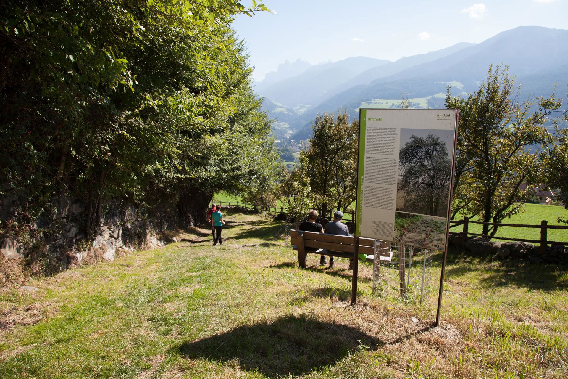
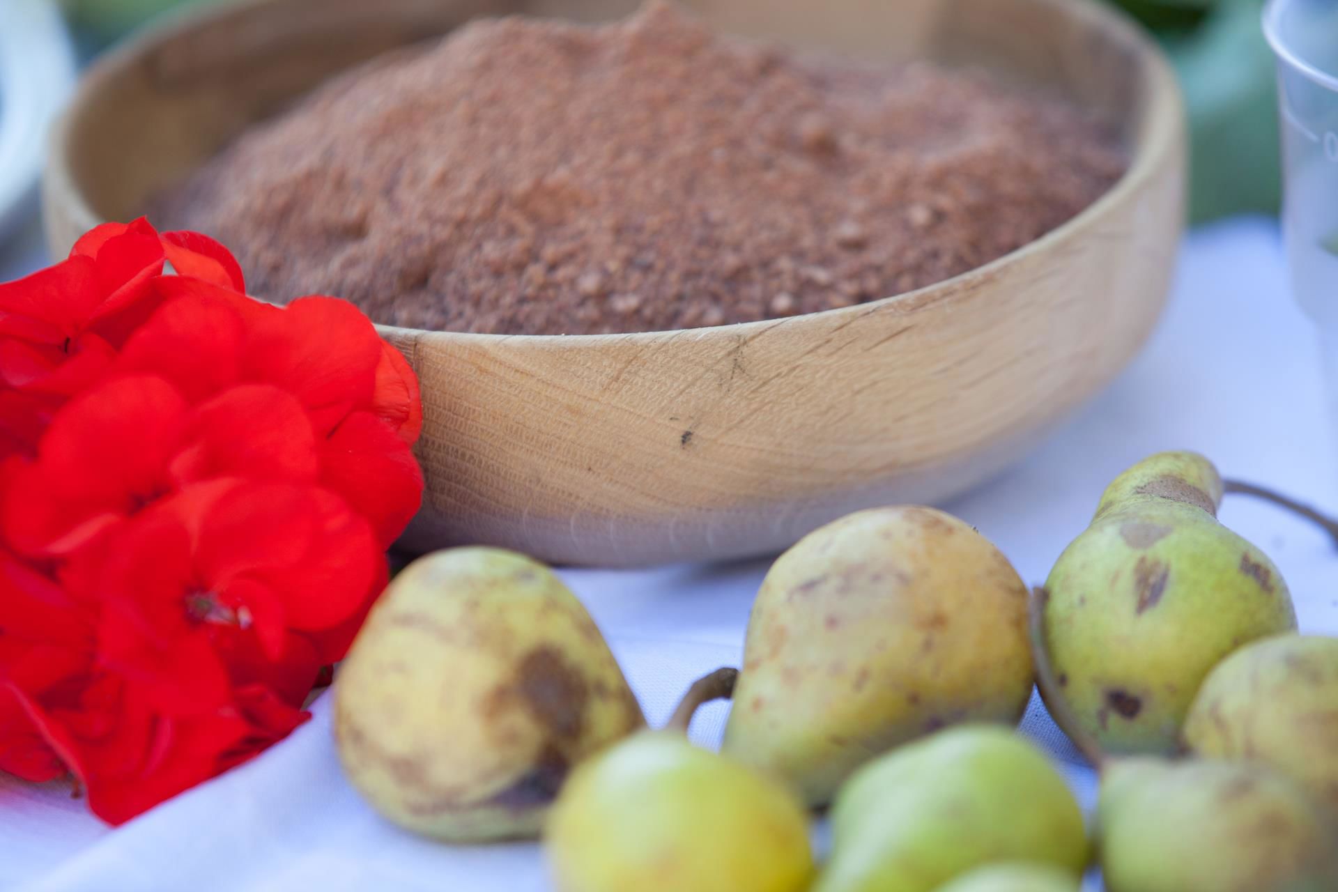
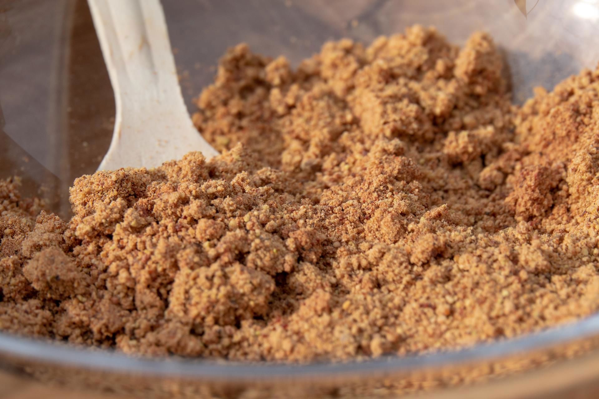
Holiday planning
Dachmarke Suedtirol
Holiday planning
telephone-white Call us email-white Write us whatsapp-white WhatsApp arrow-white 360° View
On the Birmehl Trail

'Birmehl' trail

On the tracks of pear flour

The Birmehl trail begins in the village centre of Verdings/Verdignes and leads through the arid meadows of the southern side of the church hill down to the hamlet of Pardell and from there up to the beautifully situated Moar zu Viersch farm. An old cobblestone path takes you back to your set-off-point.

Difficulty: easy
Average walking time: 1,5 hours

How to find us:
Through the Eisack Valley until shortly after Klausen and then up to Feldthurns.
Than take the street to Verdings.
Pear flour was used as a sweetener instead of the expensive sugar.
Hiking trail

The Birmehl Trail

Hiking trail · Eisacktal
Responsible for this content
Klausen, Barbian, Villanders, Feldthurns
  • Verdings/Verdignes
    Verdings/Verdignes
    Photo: TV Klausen, Klausen, Barbian, Villanders, Feldthurns
Map / The Birmehl Trail
Hint

Explanation

Selected alternatives for you
    moderate
    Distance 3.1 km
    1:01 h
    191 m
    191 m
    963 m
    774 m

    The “Birmehl” trail begins in the village centre of Verdings and leads through the arid meadows of the southern side of the church hill down to the hamlet of Pardell and from there up to the beautifully situated Moar zu Viersch farm. An old cobblestone path takes you back to your set-off point.

    Difficulty
    moderate
    Overall difficulty
    moderate

    Derived from the technical difficulty and the stamina requirements.

    Experience
    Landscape
    Highest point
    963 m
    Lowest point
    774 m
    Best time of year
    Jan
    Feb
    Mar
    Apr
    May
    Jun
    Jul
    Aug
    Sep
    Oct
    Nov
    Dec

    Track types

    Show elevation profile

    Start

    Coordinates:
    DD
    46.655337, 11.571633
    DMS
    46°39'19.2"N 11°34'17.9"E
    UTM
    32T 696759 5170076
    w3w 
    ///biting.positioned.stargazing

    Coordinates

    DD
    46.655337, 11.571633
    DMS
    46°39'19.2"N 11°34'17.9"E
    UTM
    32T 696759 5170076
    w3w 
    ///biting.positioned.stargazing
    Get there by train, car, bike, or on foot!

    Similar routes nearby

    • Chiusa-Albions-Fonteklaus-Gudon-Chiusa
    • Törggele hike Klausen - Gufidaun
    • Törggele Hike Klausen - Pardell
    • To the Villanders mine
    • Garn - Königanger peak - Radlsee lake
     These suggestions were generated by our system
    Difficulty
    moderate
    Overall difficulty
    moderate

    Derived from the technical difficulty and the stamina requirements.

    Distance
    3.1 km
    Duration
    1:01 h
    Ascent
    191 m
    Descent
    191 m
    Highest point
    963 m
    Lowest point
    774 m

    Weather at the route's trailhead

    Statistics

    • Content
    • Show images Hide images
    Features
    Maps and trails
    Push the arrows to change the view
     km Distance
    : h Duration
     m Ascent
     m Descent
     m Highest point
     m Lowest point
    Pears and pear flour
    SWEET
    Pear flour autumn (Birmehlherbst) Festival
    29.09.2024
    The Verdings pear flour autumn (Birmehlherbst) surprises with its special dishes made out of pear flour combined with traditional South Tyrolean cuisine. The highlight? The Pear Flour Sunday (Birmehl-Sunntig) with 11 stands! An experience for the whole family!

    TO THE EVENT