Summer
SURVEY
We’re delighted to have you here on holiday
As part of our GSTC sustainability efforts, we are working to make our region even more livable and responsible for both guests and local residents.
Your opinion matters to us: What did you particularly enjoy during your stay? Where can we improve?
Please take about 10 minutes to share your feedback.
To the survey
Holiday planning
Dachmarke Suedtirol
Holiday planning
telephone-white Call us email-white Write us whatsapp-white WhatsApp arrow-white 360° View

Cross-country skiing

Gliding over snow

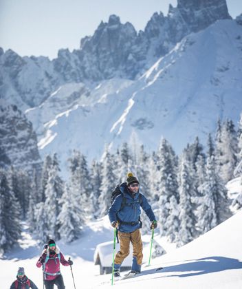
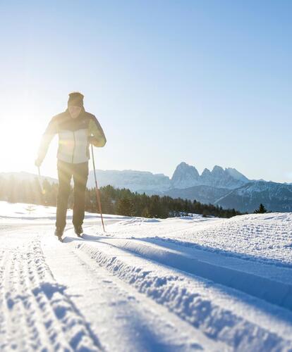
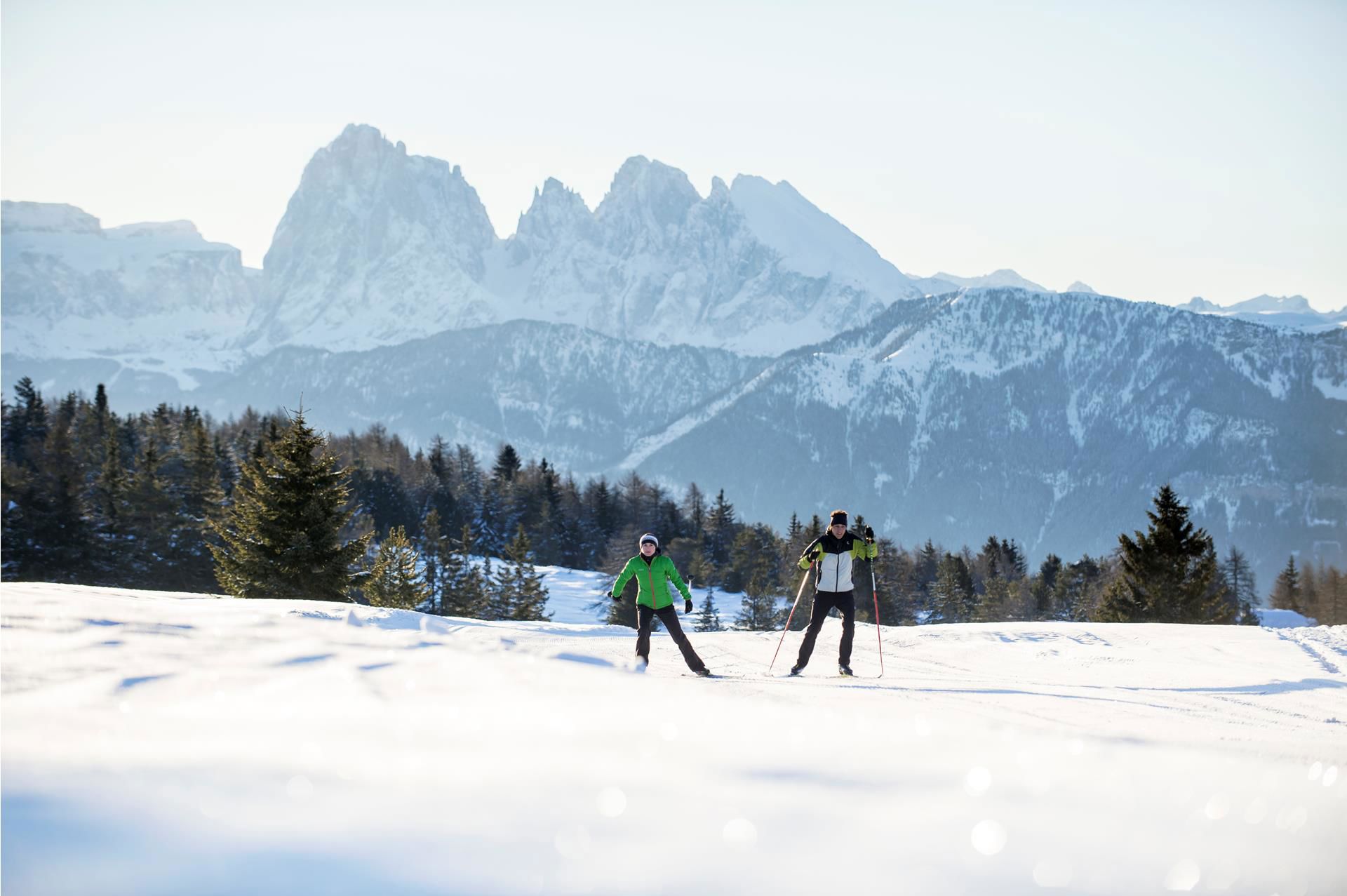
On the Villanderer Alm, far away from the big ski resorts, cross-country skiers enjoy a great landscape in the heart of nature. The Villanders cross-country trail is suitable not only for recreational cross-country skiers, but it’s perfect also as a training route for active athletes.

The Villanderer Alm mountain pasture provides an enchanting backdrop for cross-country skiing enthusiasts. The expansive meadows, snow-covered slopes, and sunny location invite you to an unforgettable cross-country skiing adventure. Whether you are an experienced skier or a beginner, up here you will find suitable trails.
And what could be more beautiful than stopping at the cozy huts after a sporting activity and trying the local delicacies?

Cross-country skiing on the Villanderer Alm, surrounded by breathtaking views, fresh mountain air, and peaceful hours amid the winter alpine landscape, promises to be an unforgettable experience!
Your cross-country trails
Cross-country trail Villanderer Alm
Start: Parking Gasserhütte
Length: 6,5 km
Difficulty: medium
Ski rental: Gasserhütte
Alpine huts: Gasserhütte, Rinderplatzhütte
Cross-country trail Villanderer Alm & Rittner Horn
Start: Hut Mair in Plun
Arrival: Schwarzenseespitze Rittner Horn - Mountain station cable car
Length: 9,5 km
Difficulty: medium
Ski rental: Gasserhütte
Alpine huts: Hut Mair in Plun, hut Feltuner Hütte, hut Unterhornhaus
Cross-country ski runs in the surroundings
Val di Funes: 26 km
Corno del Renon: 35 km
Alpe di Siusi: 60 km
Val Gardena: 116 km
Cross-country skiing recommended route Cross-country skiing  · South Tyrol closed

Cross country ski trail - Alp of Villandro

Responsible for this content
Klausen, Barbian, Villanders, Feldthurns
  • Cross-country skiing on the Villandro Alp
    Cross-country skiing on the Villandro Alp
    Photo: Thomas Rötting, Klausen, Barbian, Villanders, Feldthurns
Map / Cross country ski trail - Alp of Villandro

Selected alternatives for you
    Cross-country skiing on the sunny Villanderer Alm: a varied trail at around 2,000 m, ideal for beginners and experienced skiers.
    closed
    Skating
    moderate
    Distance 6.3 km
    1:35 h
    124 m
    124 m
    1,836 m
    1,757 m
    A true insider tip for cross-country skiers is the Villanderer Alm alpine pasture, located at around 2,000 metres above the village of Villanders in the Eisack Valley. The varied trail leads through the sunny alpine landscape and is ideal for both beginners and more experienced cross-country skiers. Although not particularly demanding from a technical point of view, the route offers plenty of variety with gentle loops, curves and two moderate descents. Its sunny location provides beautiful views along the way without compromising the snow conditions. The trail is regularly groomed and carefully maintained, ensuring ideal conditions for enjoyable hours in the winter mountain landscape.
    Responsible for this content
    Klausen, Barbian, Villanders, Feldthurns 
    Difficulty
    moderate
    Overall difficulty
    moderate

    Derived from the technical difficulty and the stamina requirements.

    Experience
    Landscape
    Highest point
    1,836 m
    Lowest point
    1,757 m
    Best time of year
    Jan
    Feb
    Mar
    Apr
    May
    Jun
    Jul
    Aug
    Sep
    Oct
    Nov
    Dec

    Track types

    Show elevation profile

    Rest stops

    Almgasthof am Rinderplatz
    Gasser Hütte

    Safety information

    Observance of markings and information signs

    Roadbook

    The cross-country ski trail starts at the Gasser Hütte and runs for around 6.5 kilometres through the winter landscape of the Villanderer Alm. The route is rated as moderately difficult and offers a varied course. For beginners and those who prefer a more leisurely option, a shorter and easier route of around 4 kilometres is also signposted on site.
    Rest stop
    Tip
    Nearby
    Top Partner
    Waypoint
    Start point
    End point
    Low point
    High point
    Forecast
    Today {low} to {high} and {precipitation} of {precipitation_type}
    show {x} more
    Photo
    Video
    Parking
    Gasser Hütte
    Am Rinderplatz
    Almgasthof am Rinderplatz
    Gasser Hütte
    Renatl of sledge, snowshoes, cross-country ski & ski for skitouring at the Alp
    Renatl of sledge, snowshoes, cross-country ski & ski for skitouring at the Alp
    Bus stop, Alps of Villanders/Villandro

    Public transport

    The bus line 345 from Klausen/Villanders/Villanderer Alm

    Directions

    Leave the motorway at Klausen and take the first exit at the first roundabout. At the next roundabout, take the second exit and follow the road for about 2 kilometres. Then turn right towards Villanders and continue to the village centre. At the Despar supermarket, turn right and follow the signs for the Villanderer Alm. The road leads up to the Saltnerstein car park near the Gasser Hütte.

    Parking

    Parking Saltner Stein (Gasser Hütte) for a fee.

    Coordinates

    DD
    46.642807, 11.492021
    DMS
    46°38'34.1"N 11°29'31.3"E
    UTM
    32T 690713 5168488
    w3w 
    ///microscopic.self.scarcer
    Get there by train, car, bike, or on foot!

    Similar routes nearby

    • Cross country ski trail - Alp of Villandro
     These suggestions were generated by our system
    Status
    closed
    Cross-country skiing technique
    Skating
    Difficulty
    moderate
    Overall difficulty
    moderate

    Derived from the technical difficulty and the stamina requirements.

    Distance
    6.3 km
    Duration
    1:35 h
    Ascent
    124 m
    Descent
    124 m
    Highest point
    1,836 m
    Lowest point
    1,757 m
    Skating Round trip

    Weather at the starting point

    10-day forecast

    Statistics

    • Content
    • Show images Hide images
    Features
    Maps and trails
    Nothing selected - click and drag in the elevation profile to zoom
    Distance
    Duration
    Ascent
    Descent
    Elevation profile